Python resources
Book
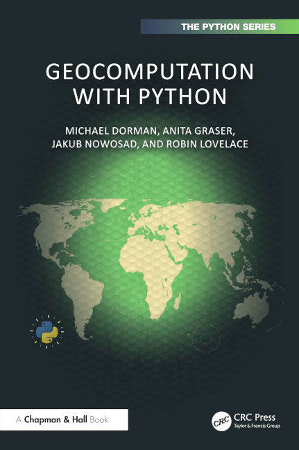
Geocomputation with Python (geocompy) is motivated by the need for an introductory, yet rigorous and up-to-date, resource geographic data with the most popular programming language in the world. A unique selling point of the book is its cohesive and joined-up coverage of both vector and raster geographic data models and consistent learning curve. We aim to minimize surprises, with each section and chapter building on the previous. If you’re just starting out with Python for working with geographic data, this book is an excellent place to start.
The online version of the book is hosted at py.geocompx.org/.
You can buy it from:
Inspired by the Free and Open Source Software for Geospatial (FOSS4G) movement this is an open source book. Find the code underlying the geocompy project on GitHub, ensuring that the content is reproducible, transparent, and accessible. Making the book open source allows you or anyone else, to interact with the project by opening issues, making typo fixes and more, for the benefit of everyone.
