R resources
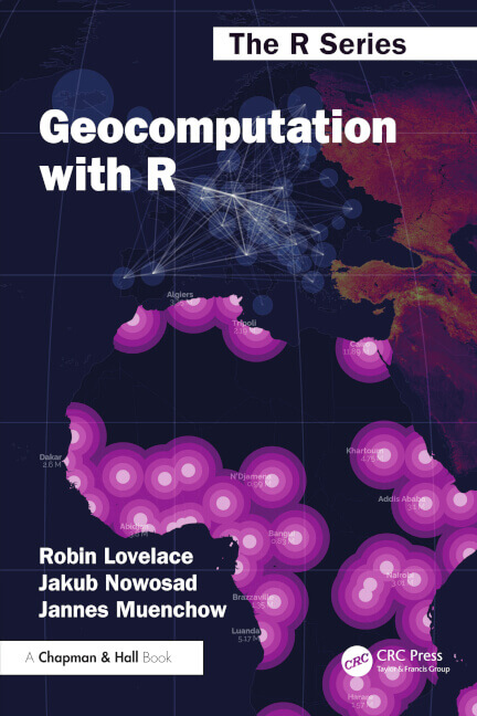
The Geocomputation with R book
Geocomputation with R (geocompr) is for people who want to analyze, visualize and model geographic data with open source software. It is based on R, a statistical programming language that has powerful data processing, visualization, and geospatial capabilities. The book equips you with the knowledge and skills to tackle a wide range of issues manifested in geographic data, including those with scientific, societal, and environmental implications. The online version of the book is hosted at r.geocompx.org/.
You can buy it from:
Solutions
You can find all the solutions to the book’s exercises at r.geocompx.org/solutions.
Translations
The Geocomputation with R book has a few community translations:
- Geocomputación con R (in Spanish). Translation lead: Mireia Camacho
- Geocomputation avec R (in French). Translation lead: Olivier Leroy
- Geocomputation with R (in Japanese). Translation lead: Yoshihiko Baba
Additionally, the first edition of the book has been officially translated into Japanese and Korean, and the second edition of the book has been officially translated into Chinese (check your local bookstore).
Vignettes
These vignettes provide extended examples for several methods and functions mentioned in Geocomputation with R
The tmap book
Spatial Data Visualization with tmap: A Practical Guide to Thematic Mapping in R by Martijn Tennekes and Jakub Nowosad is a comprehensive guide to creating maps using the tmap package in R.
Other recommended books
- Spatial Data Science with applications in R from Edzer Pebesma and Roger Bivand; with solutions

